Preserving urban forests through
education and wildfire mitigation
Choose an image below that depicts your geographic area to find relevant resources.
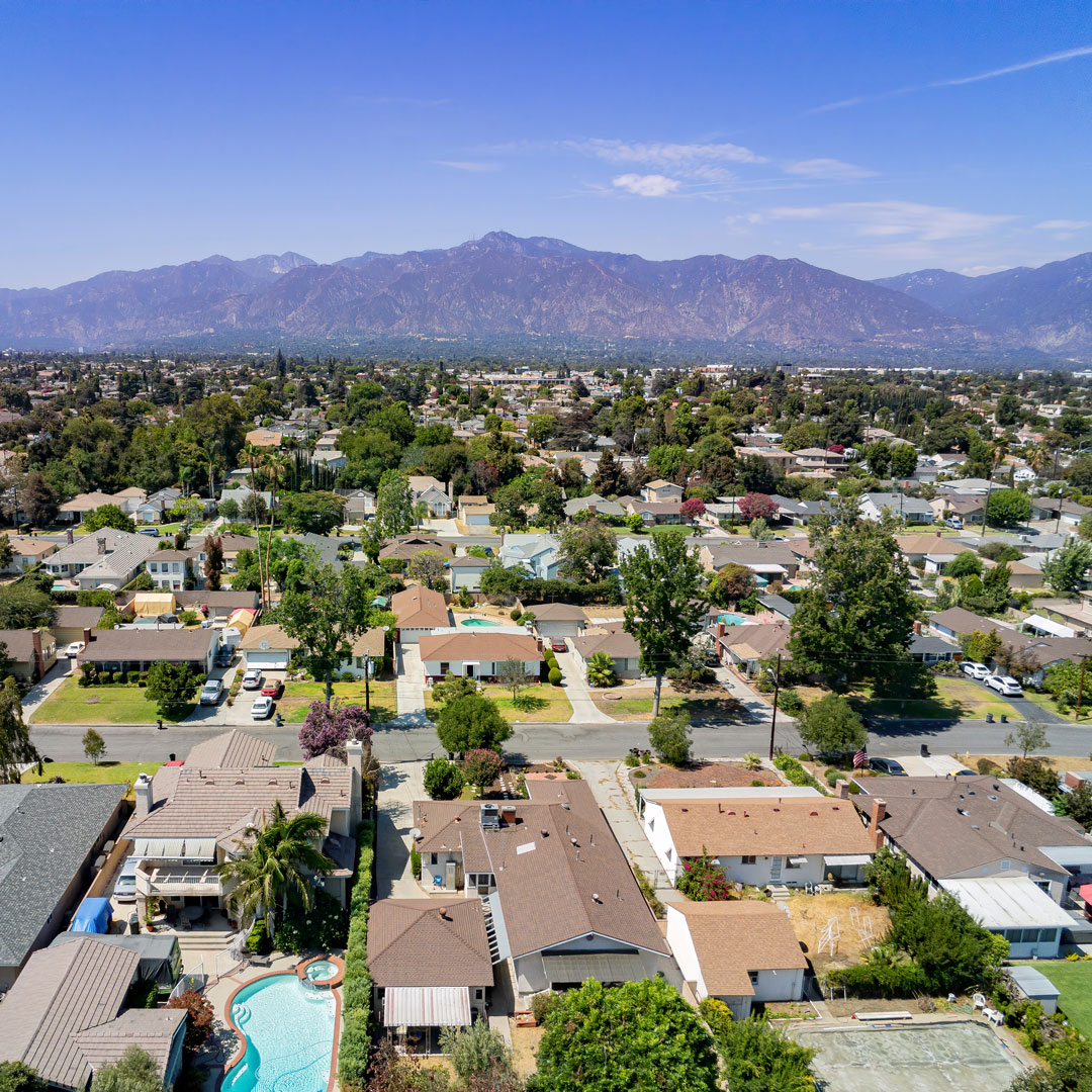
Urban Core
Urban Core
The Urban Core is most often the heart of a town or city. There are many buildings, hardscape, overhead utility lines, as well as pedestrian, bike, and vehicular traffic. Previous design models did not always account for trees in the urban forest, let alone how a tree’s needs interface with all that occurs in a high traffic multi-use space. This includes such aspects as soil volume, soil compaction, overhead lines, overall tree size, or irrigation. Main locations for trees are sidewalks, parking lots, medians, front yards, and inner city parks.
Mind The Divide has a goal of 30% canopy cover in every Urban Core across California. This can only be accomplished through the installation of trees in both public spaces and private yards. Some methods we suggest include; proper tree spacing from buildings, structural cells, structural soil, stormwater detention, rainwater filtration, raised curb open planters, flexible sidewalks using alternative sidewalk materials, suspended pavers, planter designs based on tree needs, utility and maintenance collaboration early and often, as well as species selection based on climate-ready species.
Urban Core trees are vital to the health and prosperity of our urban centers because of all the services they contribute. The value of a tree increases significantly when these factors are calculated in city planning.
- Increasing the financial value of a neighborhood
- Aiding in the physical well-being of the community
- Decrease asthma and filter air
- Provide a sense of mental well being
- Increased outdoor recreation for neighborhoods
- Safer communities with fewer hard crimes
- Decreased heat island effect
- Stormwater retention and flood prevention
- Noise abatement
- Lower utility bills
- Ecosystem services
(Nowak and Greenfield 2012, 21-28), (Kondo et al. 2016, 3291-93) (Kondo et al. 2020, 149-155).
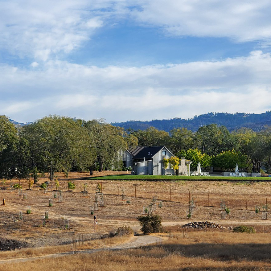
Urban Wildland
Urban Wildland
This was previously referred to as the WUI or wildland-urban interface. However, with continued urban sprawl, a less apparent divide between wildland and urban zones, and unclear parameters on the definition, it was time for a revision. The Urban Wildland zone includes properties with larger parcels, less hardscape, more vegetation and trees, and closer proximity to natural resources.
We have a goal of 35-45% canopy cover for the Urban Wildland. While many of the Urban Core methods still apply to implementation within this zone, special concern must be given to landscape hardening, home hardening, and proper implementation of Greenbelts.
Trees in the Urban Wildland zone provide innumerable benefits to the state of California. There are carbon sequestration and recreational purposes. They also provide habitat, prevent erosion, process stormwater, provide shade, dampen noise, block wind, and increase property values.
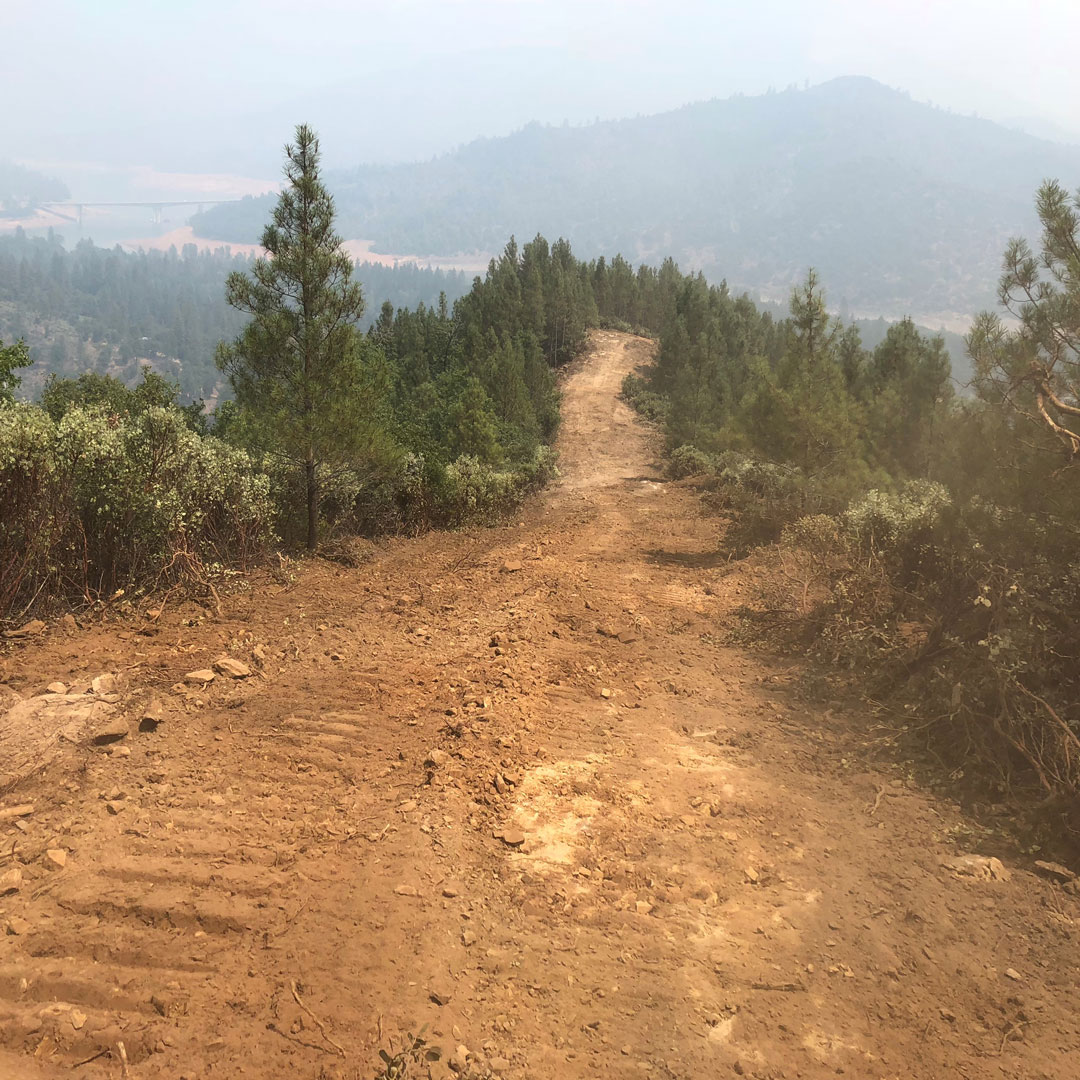
Forested Wildland
Forested Wildland
Forested Wildland is the area with state parks, National Forest lands, BLM, unmanicured county parks, privately owned logging forests, and vast ranches or private properties. There are few to no residents within the Forested Wildland, however, there may be main routes passing through them, large numbers of workers or visitors, numerous residents on the perimeter, and points of historic interest within them.
From 2001 to 2021, California lost 2.65Mha of its intact forest landscapes, losing 27% tree cover (Global Forest Watch 2022). Thick brush, ladder fuels, extreme density, and dead or dying trees crowded together are the result of years of fire suppression, and little to no mechanical thinning. Uncontrollable mega fires are an ongoing issue due to the current state of our Forested Wildlands, with entire sections of forest being lost to slow-moving high heat fires (Kantor et al. 2022, 1-7),(California Department of Water Resources 2021, 23).
Our goal is to support the preservation of the remaining Forested Wildlands. Routine maintenance, controlled burns, grazing, and mechanical thinning are techniques that not only improve forest health and ecological services, these methods also aid in snowpack accumulation for water availability later on in the year and makes future wildfires more manageable (Walsh 2022, 27:35), (Varhola et al. 2010, 219-230), (Lundquist et al. 2013, 6356-6368), (Jones et al. 2021, 1-14), (Jones et al. 2021, 1-6), (Jones et al. 2020, 925-932).
Municipalities
Municipalities
Municipalities and Policy Makers can utilize resources for a proactive management program by reviewing the Policy Planning Portfolio. The Policy Planning Portfolio is a systematic approach to evaluate urban community trees, defensible space, and stormwater collection with methods, including support to improve a municipality’s desired criteria each step of the way.
Policy Planning Portfolio includes:
- Evaluate existing policies, procedures, and ordinances, as well as current management practices.
- Comprehensive Assessment to identify areas where improvements will have the greatest impact.
- City and Community Engagement with outreach to neighborhoods provide the opportunity to receive feedback and promote stewardship.
- Implementation takes the information gathered and creates action and readiness plans for urban forests and wildfire mitigation.
